7391 Highway 16 West, Smithers BC toll free: 1-800-748-2333
Free shipping on orders over $200 with code FREESHIP200 * Some conditions apply
Free shipping on orders over $200 with code FREESHIP200 * Some conditions apply


| Availability: | In stock (3) |
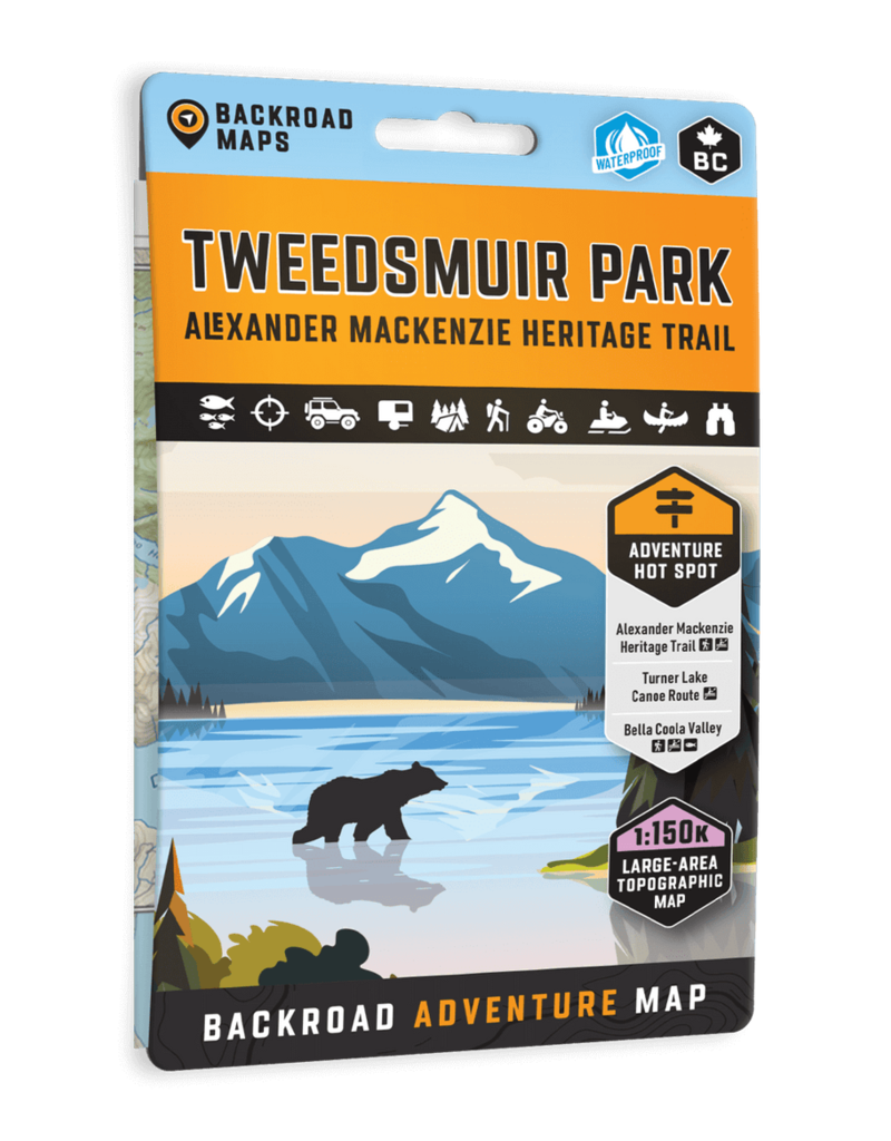
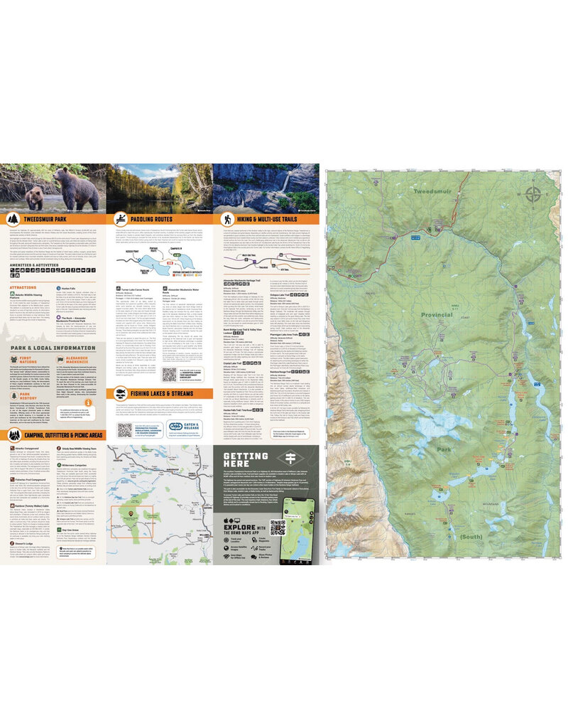
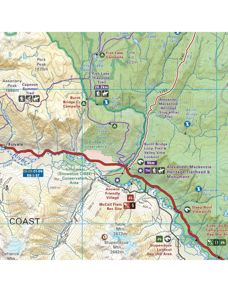
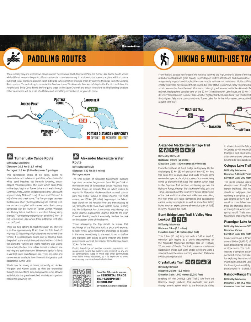
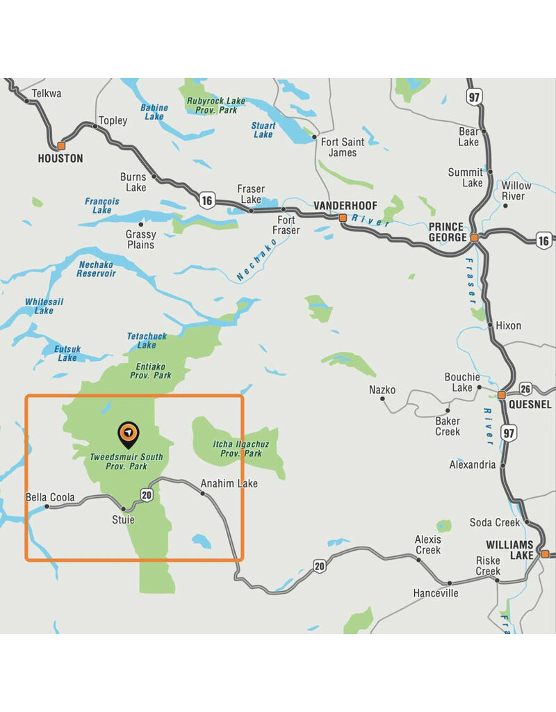
Highlighting the Tweedsmuir Park, the Alexander Mackenzie Heritage Trail, the Turner Lake Canoe Route, and the Bella Coola Valley, this waterproof map features the entire canoe route and its access points, campsites, cabins, portage trails with distance markers, fish species, hiking trails and waterfalls. Use this Adventure map for fishing, camping, exploring, canoeing, kayaking, wildlife viewing and more.
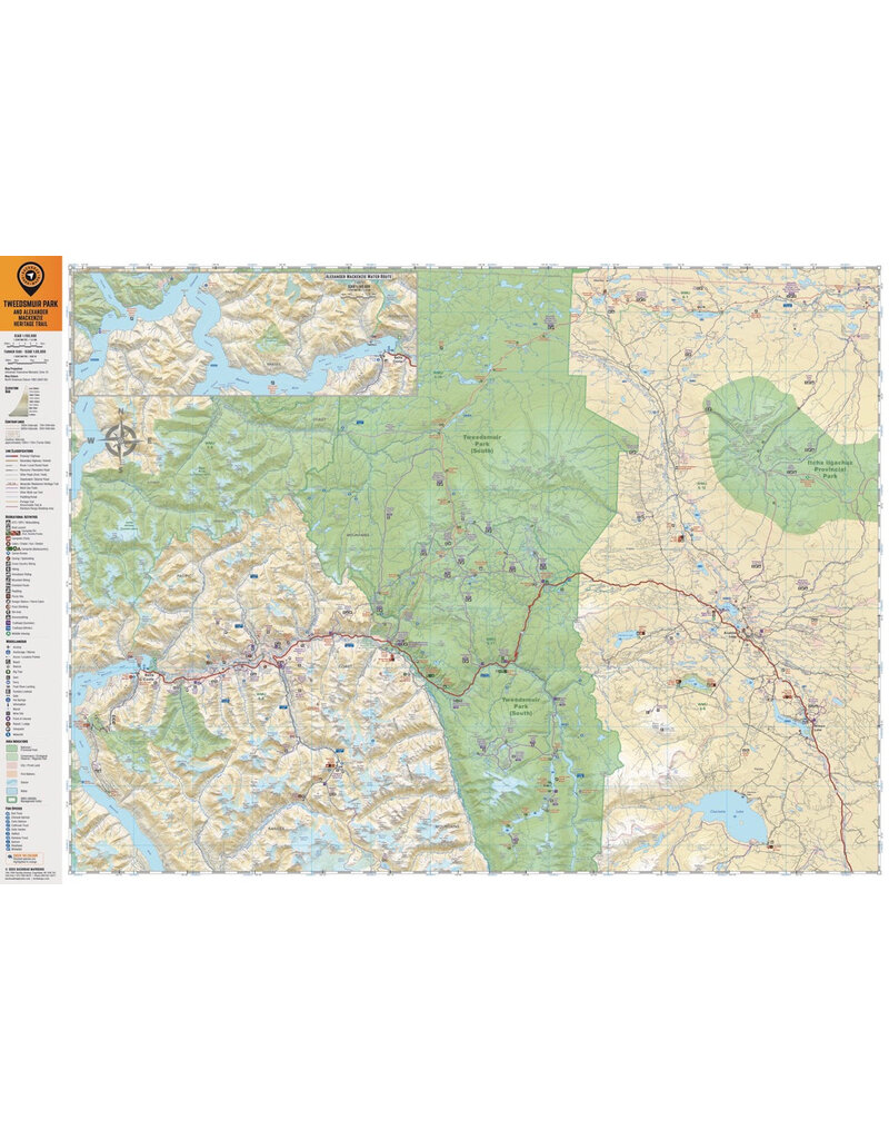
With 1:10,000 water and road data, no other map for the area provides you with this level of recreational or topographic detail. This map includes Tweedsmuir Park, Alexander Mackenzie Heritage Trail, Turner Lake Canoe Route, Bella Coola Valley, Anahim Lake, Hunlen Falls, Burnt Bridge Loop Trail, Crystal Lake Trail, Octopus Lake Trail, Ptarmigan Lake Area Trails, Rainbow Range Trail, and more!
The printed version of the map is displayed at 1:150,000 scale on 5x8.25 inches (folded) / 27.8×39.4 inches (unfolded) paper on a durable waterproof synthetic material.
Print Features:
Specs:
Map Scale: 1:150,000 Scale
Release: 2025 1st Edition
Dimensions: 5x8.25 inches (folded) / 27.8×39.4 inches (unfolded)
Area Covered: Tweedsmuir Park, Alexander Mackenzie Heritage Trail, Turner Lake Canoe Route, Bella Coola Valley, Anahim Lake, Hunlen Falls, Burnt Bridge Loop Trail, Crystal Lake Trail, Octopus Lake Trail, Ptarmigan Lake Area Trails, Rainbow Range Trail, and more!
Map Features: Highways, Logging Roads, Land & Water Features, Parks, Adventure Points of Interest, Campgrounds, Hiking Trails, Motorized Trails, Paddling Routes, Hunting & Fishing Areas, Winter Recreation and More.


