7391 Highway 16 West, Smithers BC toll free: 1-800-748-2333
Free shipping on orders over $200 with code FREESHIP200 * Some conditions apply
Free shipping on orders over $200 with code FREESHIP200 * Some conditions apply

 - Destination Map WP")
 - Destination Map WP")
 - Destination Map WP")
 - Destination Map WP")
| Availability: | In stock (5) |
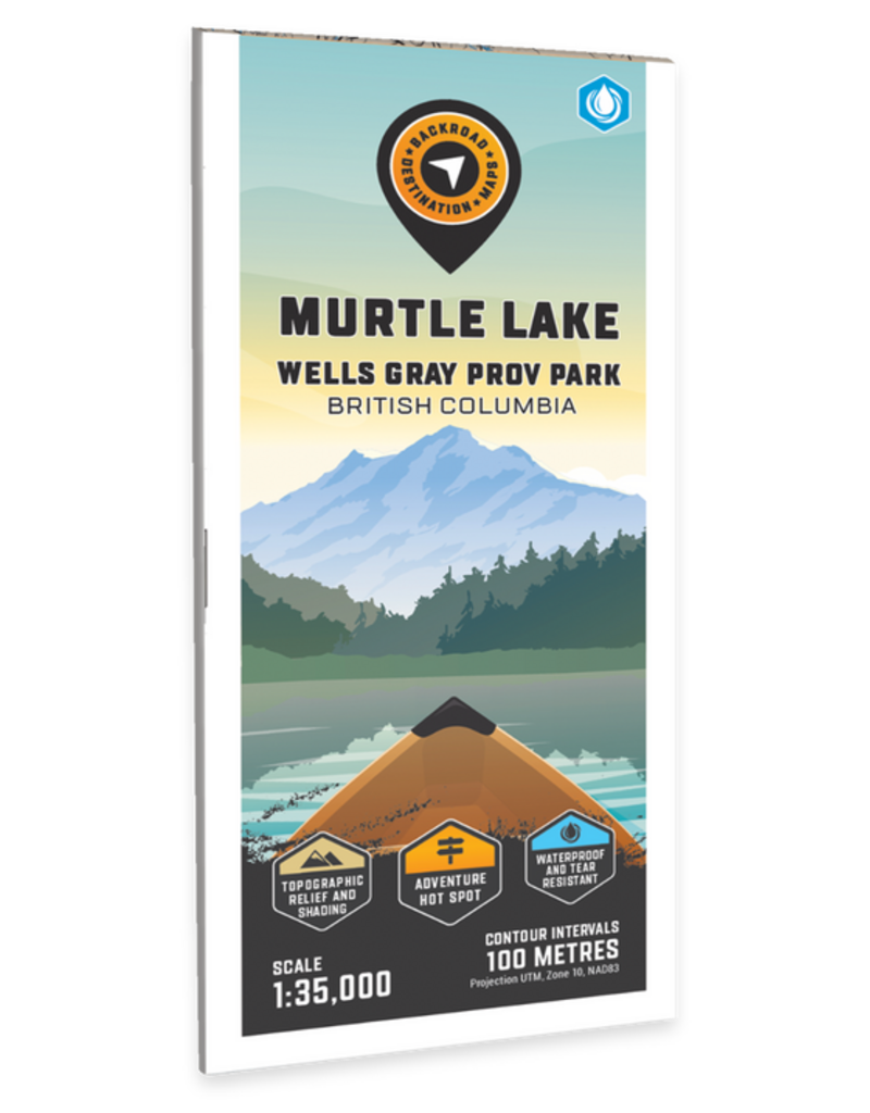
Thompson Okanagan BC • Water-Resistant Map
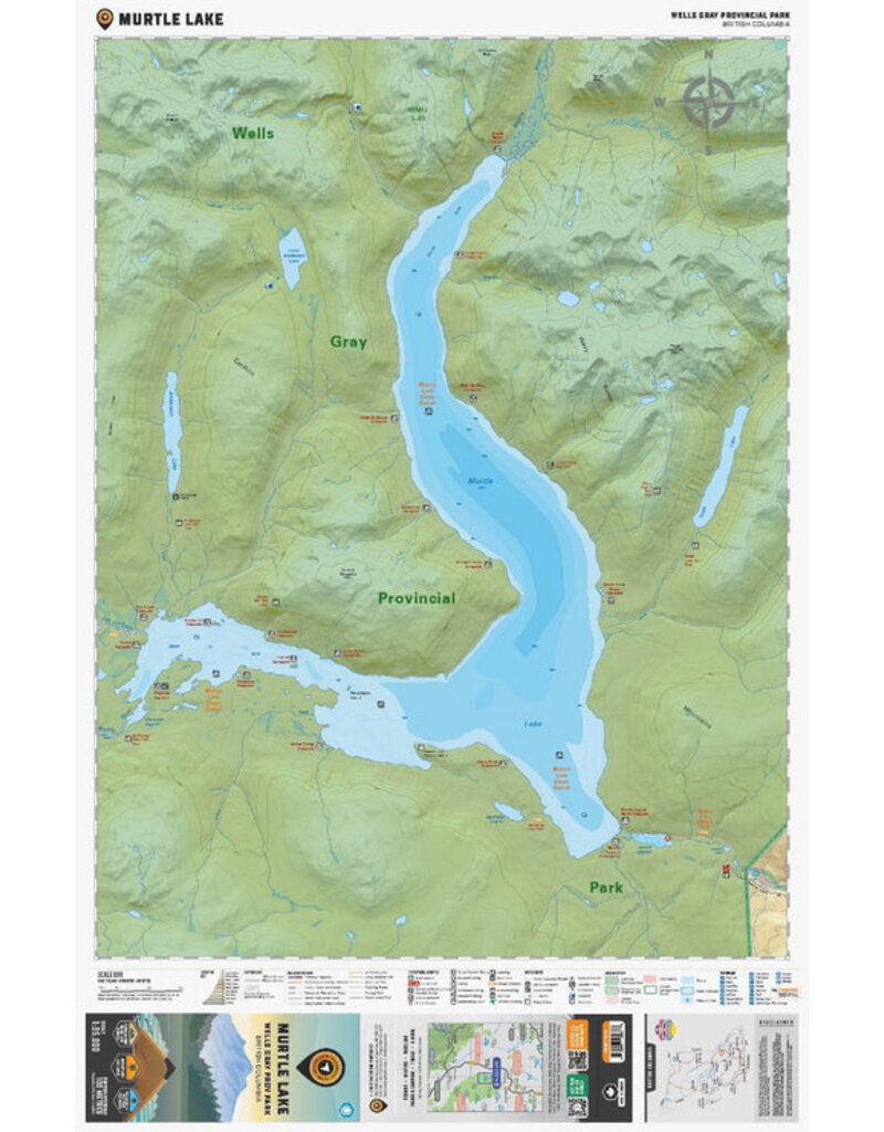
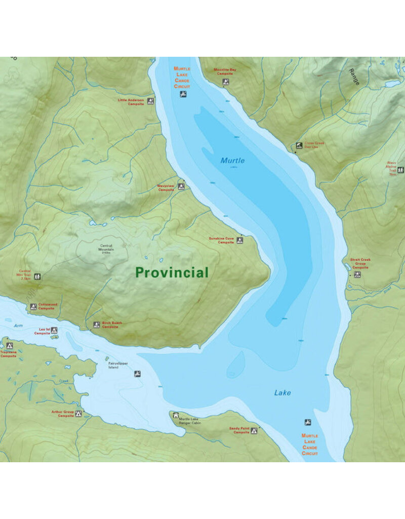
Highlighting the Murtle Lake area of Wells Gray Provincial Park British Columbia, this map features the canoe routes and access points, campsites, cabins, portage trails with distance markers, fish species, hiking trails and waterfalls. This Adventure map can be used for fishing, camping, exploring, canoeing, kayaking, wildlife viewing and more! With 1:10,000 water and road data and covering 2,715 sq. km (1,050 sq. mi), this map includes Murtle Lake, Wells Gray Provincial Park, Anderson Lake, Blue River, Diamond Lagoon, Henrietta Lake, McDougall Falls, Murtle River and more!
The printed version of the map is displayed at 1:35,000 scale on 61 x 94 cm (24 x 37 in) paper.
Print Features:
Specs
Area Covered
Murtle Lake, Wells Gray Provincial Park, Anderson Lake, Blue River, Diamond Lagoon, Henrietta Lake, McDougall Falls, Murtle River, North Thompson River Valley, BC, Canada
Map Features
Highways, Logging Roads, Land & Water Features, Parks, Adventure Points of Interest, Campgrounds, Hiking Trails, Motorized Trails, Paddling Routes, Hunting & Fishing Areas, Winter Recreation and More.


