7391 Highway 16 West, Smithers BC toll free: 1-800-748-2333
Free shipping on orders over $200 with code FREESHIP200 * Some conditions apply
Free shipping on orders over $200 with code FREESHIP200 * Some conditions apply


| Availability: | In stock (4) |
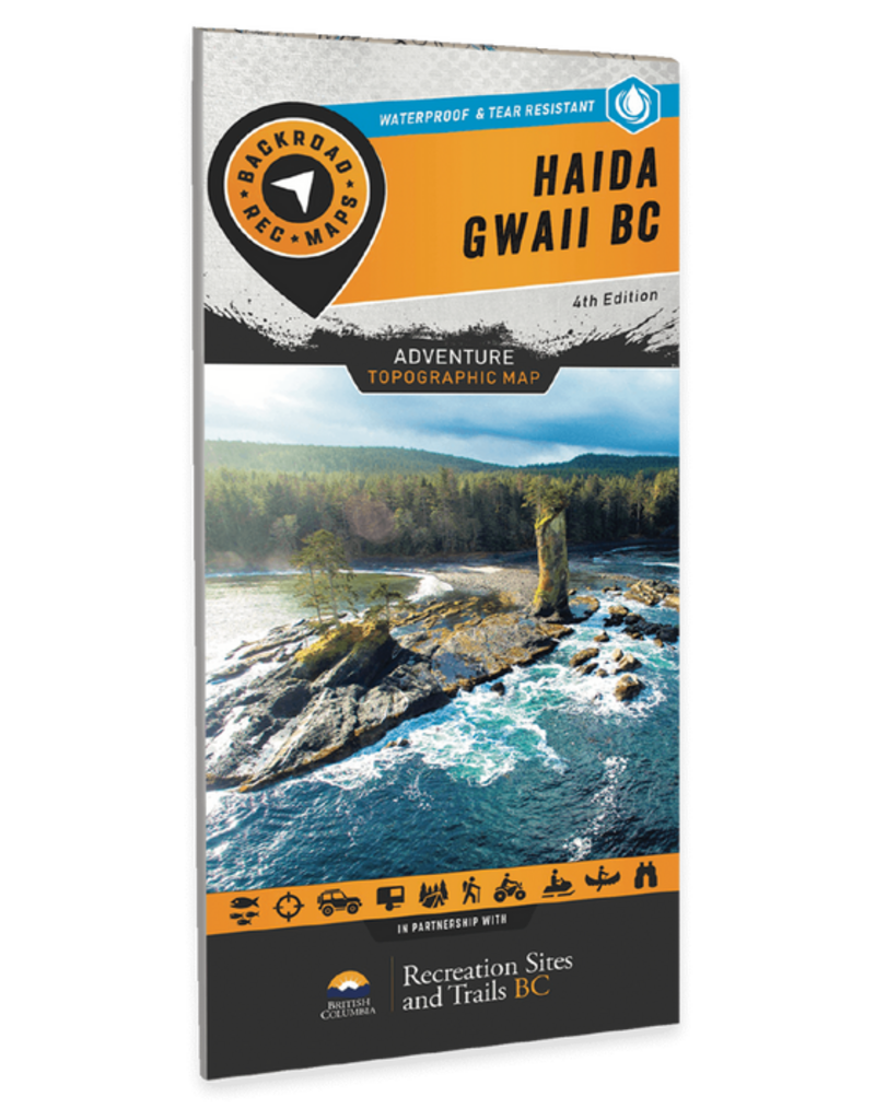
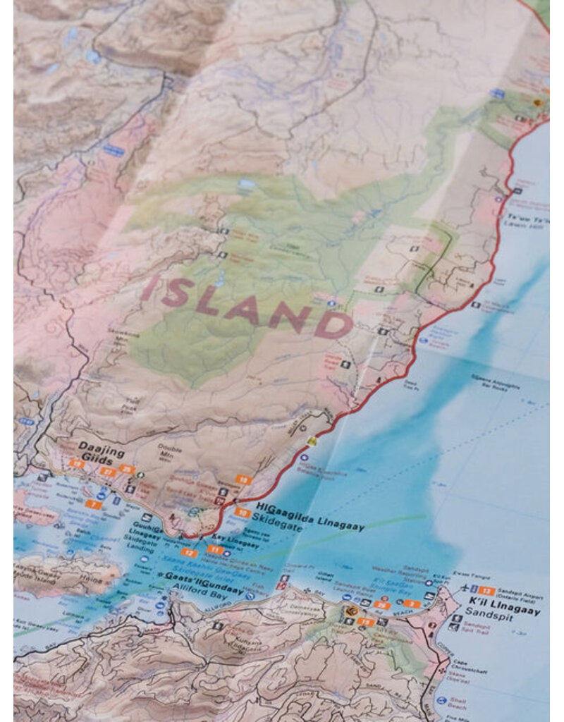
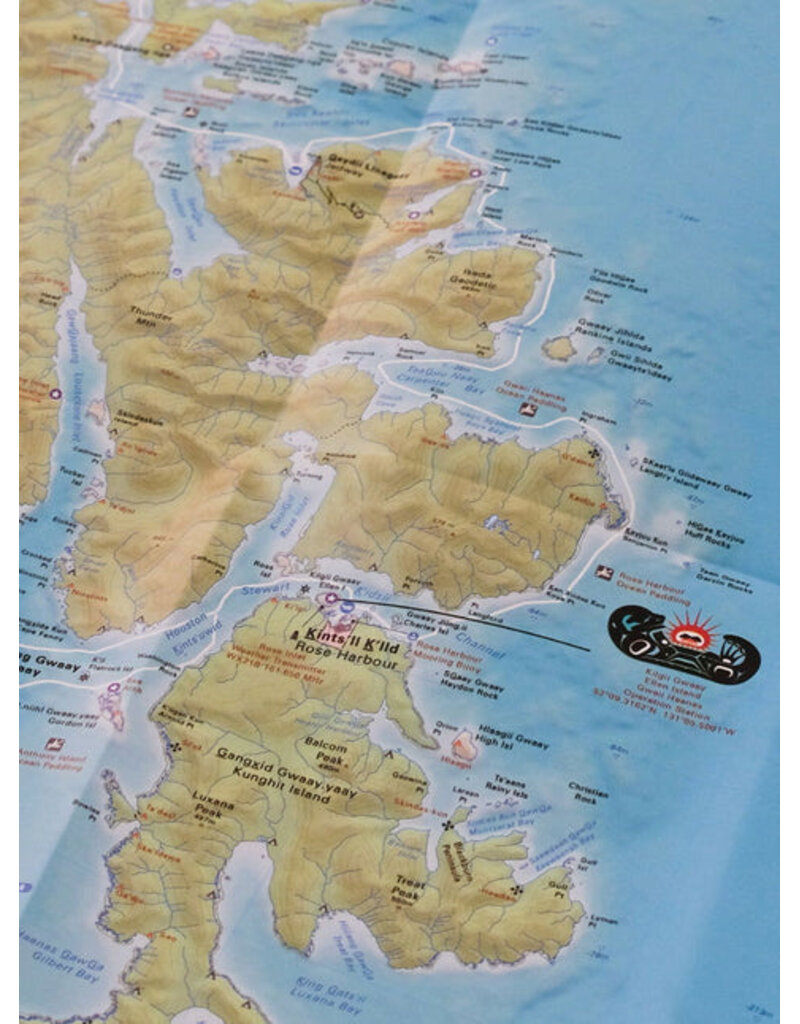
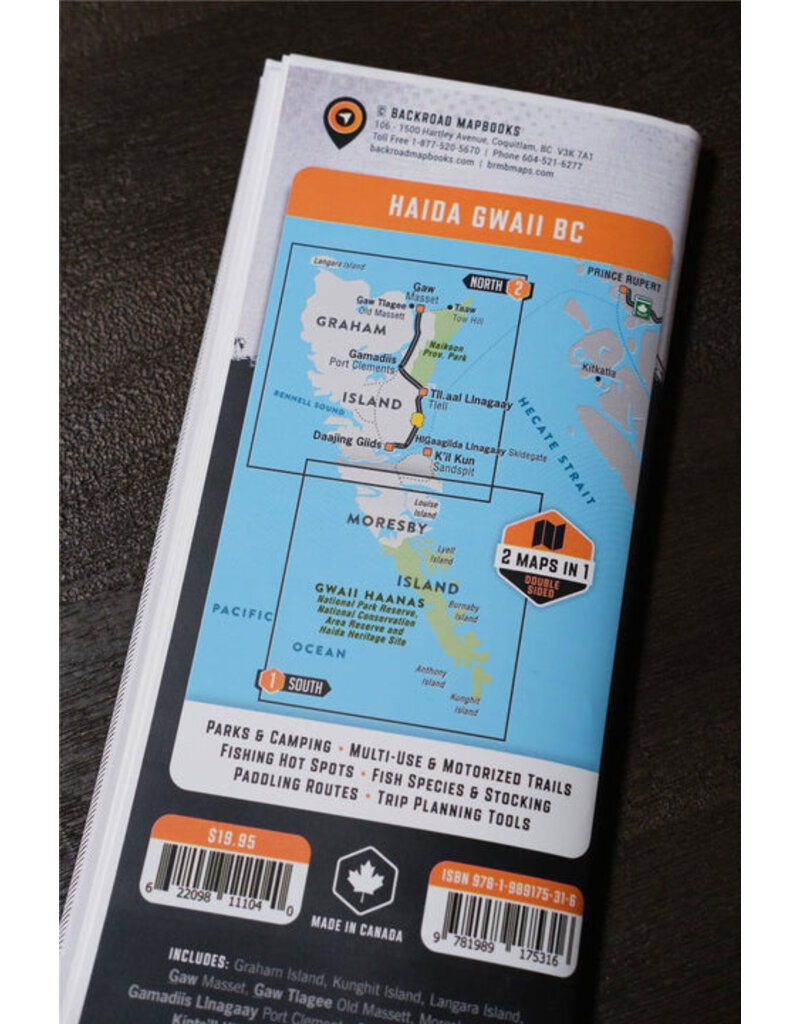
Renowned around the world for its natural beauty, Haida Gwaii is home to old growth Sitka forests, abundant wildlife and a vibrant First Nations culture that dates back thousands of years. From the wind-swept shores of Gwaii Hanaas National Park Reserve and Haida Heritage Site to the traditional totem poles of the Village of Masset, this waterproof recreation map charts the entire archipelago, providing you with the most comprehensive and up-to-date recreation guide for Haida Gwaii available anywhere. Whether you are looking to paddle, camp, hunt, hike, fish or just take in the scenery, there is no limit to adventure on Haida Gwaii.
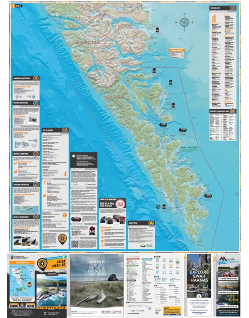
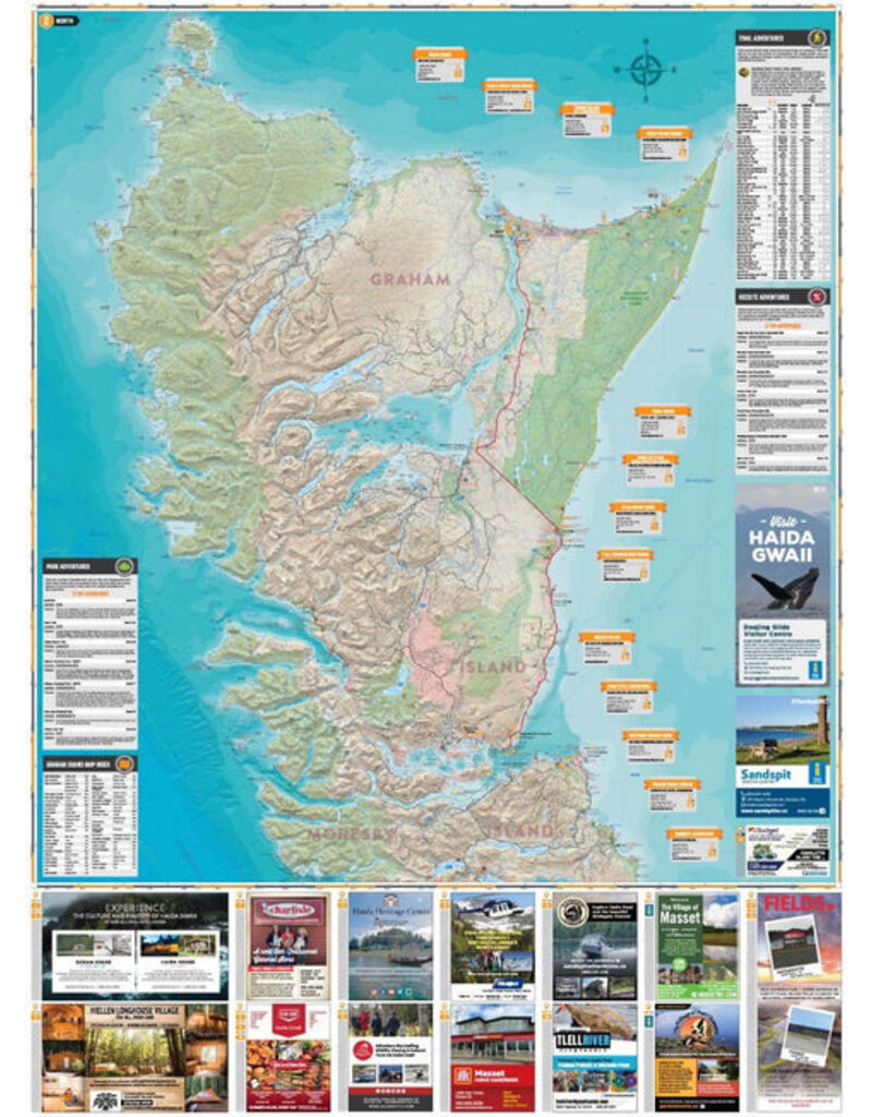
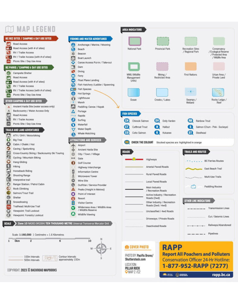
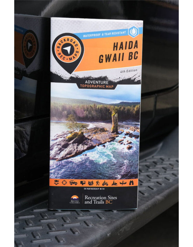
This dual-sided 34” x 56.25” map is printed on durable, water-resistant paper and features BRMB industry-leading cartographic detail and state-of-the-art relief shading. Brand new to this edition, they have added an extensive trail chart for hiking and multi-use trails, added rocky ledges and reefs to the maps, more information on ocean fishing and fish species and updated all the Adventure listings. Additionally, this map includes Haida Toponyms so you will know the traditional names of the places you are visiting. With detailed information on parks and recreation sites, Haida culture, safety tips, useful contact information and more, the Haida Gwaii Waterproof Map is more than just a map – it’s a key to discovering one of the world’s most remarkable archipelagos.
Features
Map Specs:
Area Covered
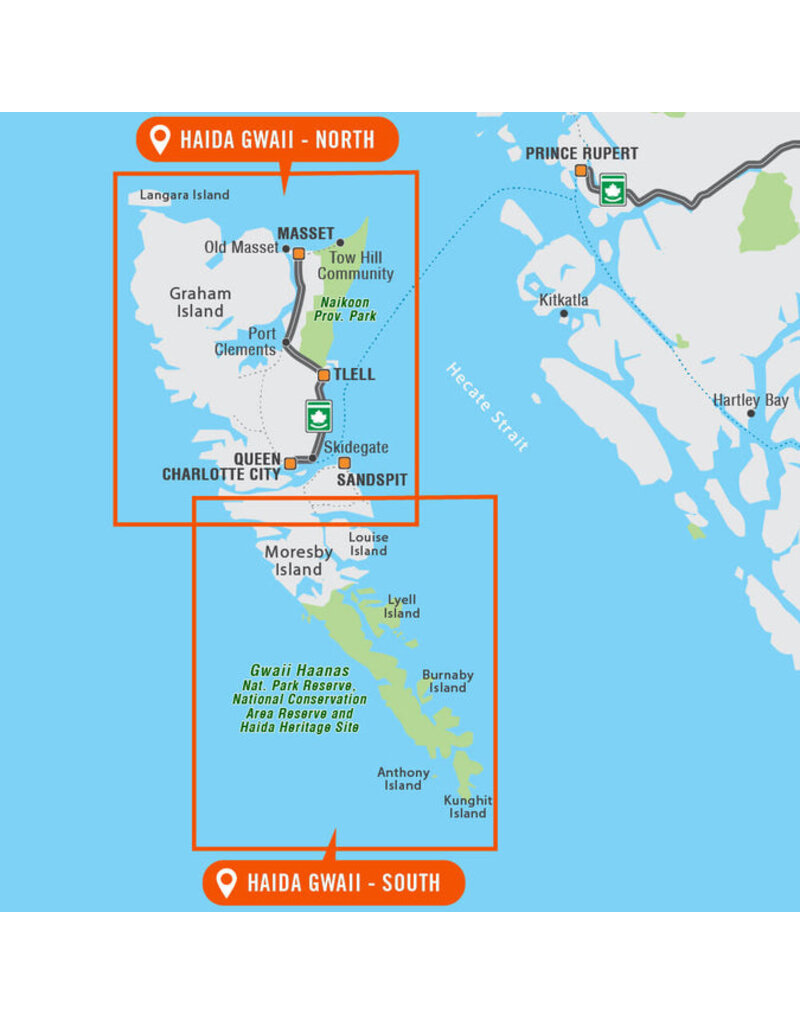
Daajing Giids, Graham Island, Gwaii Haanas National Park, Hot Spring Island, Langara Island, Gaw (Masset), Moresby Island, Naikoon Provincial Park, Port Clements, Queen Charlotte Islands, Rennell Sound, Sandspit, Skidegate, Taaw (Tow Hill), and more
What's included
Highways, Logging Roads, Land & Water Features, Parks, Adventure Points of Interest, Campgrounds, Hiking Trails, Motorized Trails, Paddling Routes, Hunting & Fishing Areas, Winter Recreation and more


 - Destination Map WP")


